
Sub Div 9 Planets are working...
In this still:
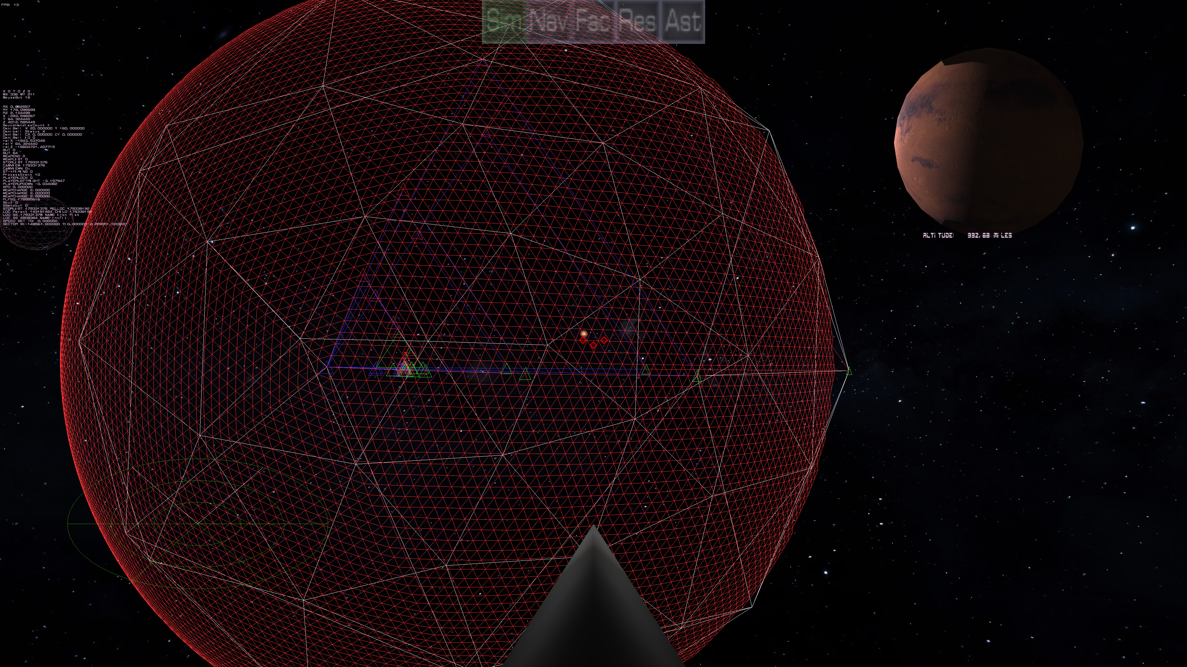
the "land" is being rendered from the outside (the red mesh). You can see the colored triangles that I used for debugging. The mini-triangles represent the points by color: red, green, and blue for points 1, 2 and 3 respectively. So as it subdivides down it is displaying two sets of triangles (Best seen here:)
This is showing the planet sphere in white at the lowest resolution (so you can see what is going on) from the inside out, so it's easier to see what is happening. The "red" main triangle is the point at which the player is to the planet (now behind us). The two sets of triangles represent the subdivisions from the 20 sided sphere (so flat against that first triangle), and the actual triangles ON the sphere as each subdivison is approximated on the real sphere.
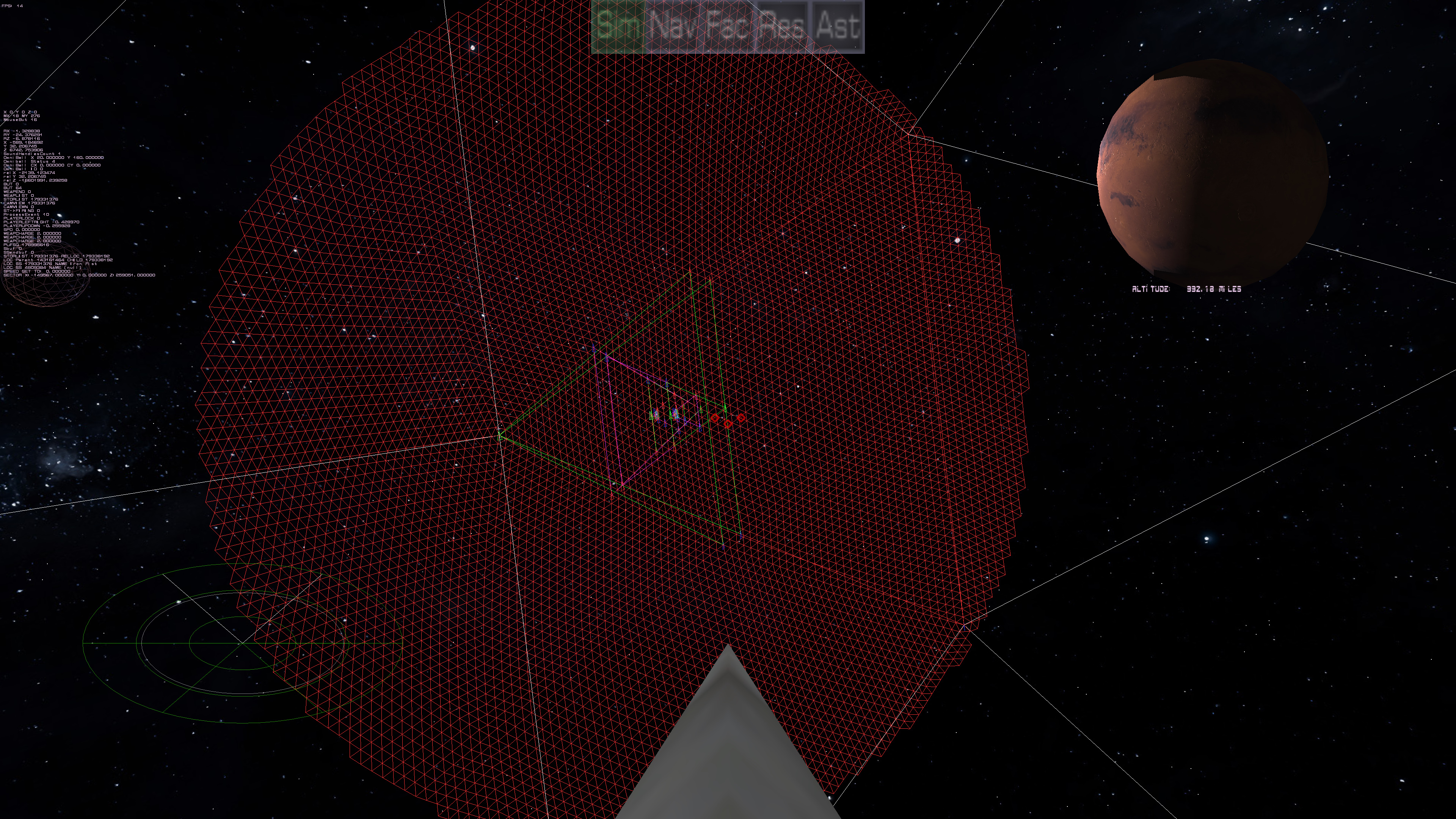
This shows how it looks as the resolution of the real sphere goes up.
This matches the resolution of what I'm making te surface out of. Currently, Sub division 6.

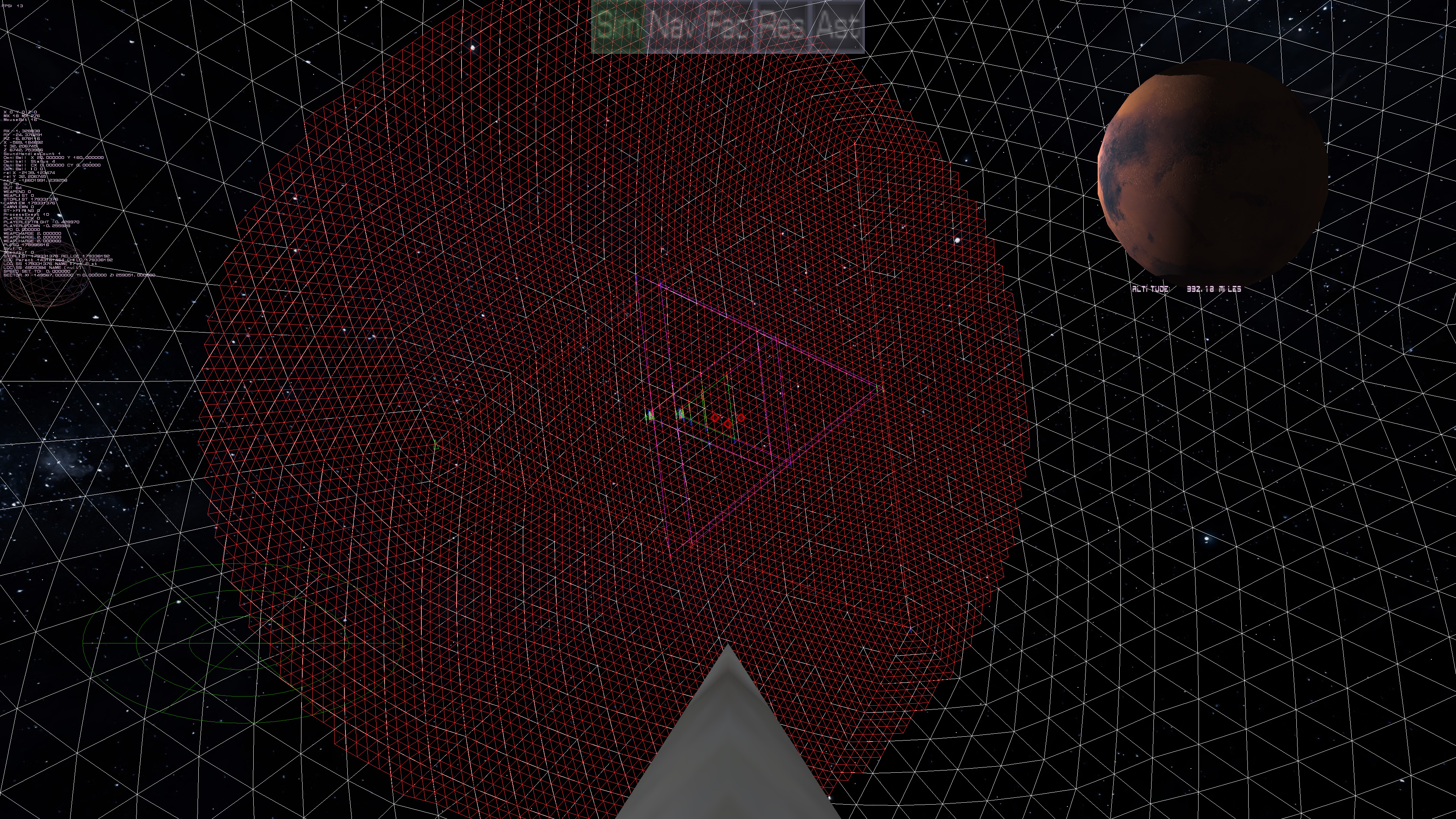
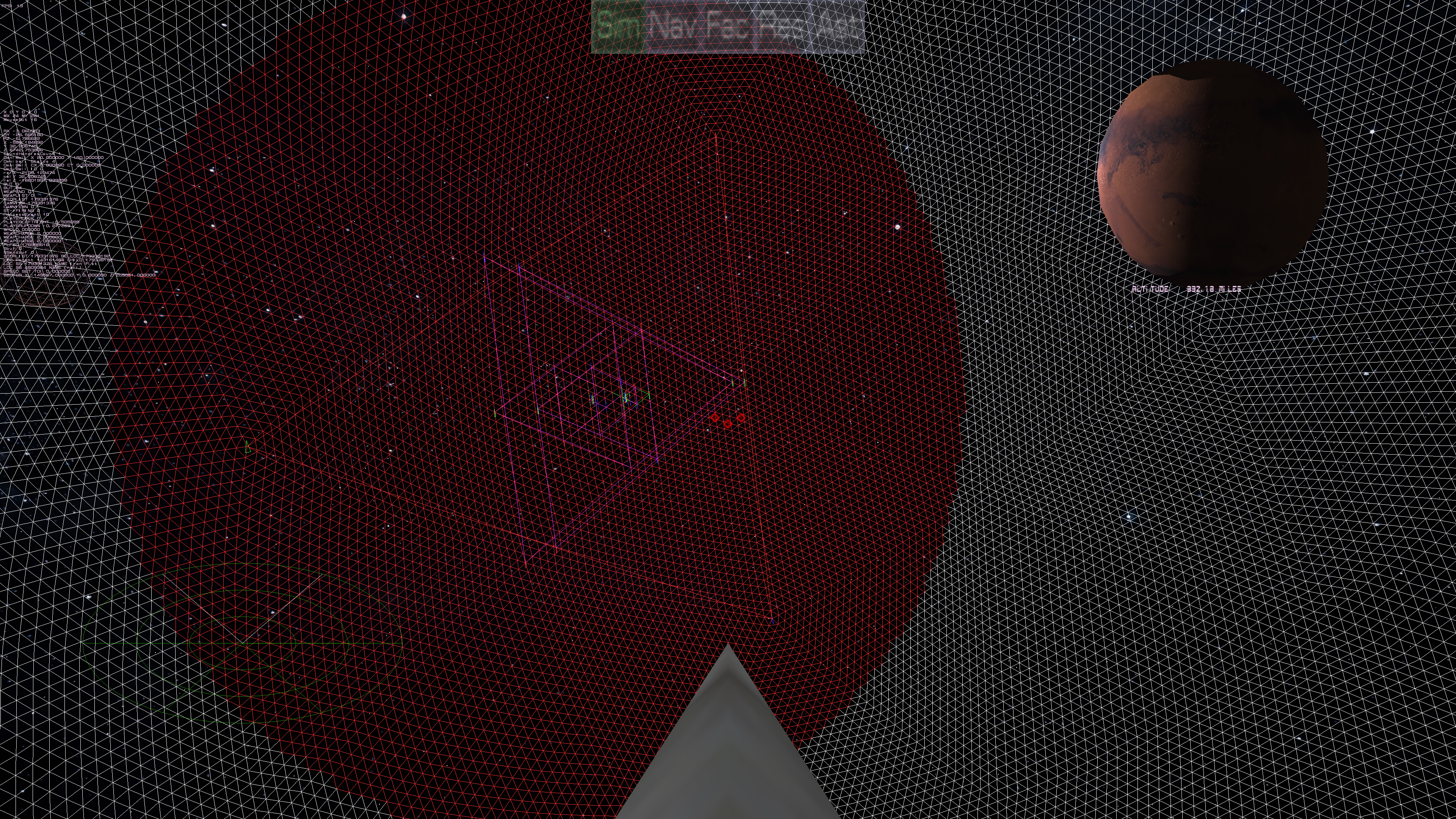
This shows the planet at subdivision 9, with still sub division 6 "land". To do sub division 9 on that wide of an area would make the system choke (and doing the whole planet at sub division 9 kills the frame rate, obviously). But the point is, the red "land" represents the visible arc of the sphere at the distance we are from the planet. The monitor says that's 992 miles away. So at 992 miles, that land mass is what you can actually see of the planet (Mars), but because of the curvature of the sphere you can only see so much of that sphere. As one gets closer to the planet, the amount of area goes down drastically. At which point the resolution will go up of the land mass, but the area will go down proportionally. The idea is to keep doing this all the way down to subdivision 19 or 20. Subdivision 9, each triangle is between 2.5 to 5 miles I estimate, so to get it down to around 10 feet, that is subdivision 19. After Sub divison 9, it's going to use either a height map or a perlin noise generated heightmap to handle the points below. I'm working on that part. :)
| Print article | This entry was posted by Arthur M. on 05/05/18 at 02:10:00 pm . Follow any responses to this post through RSS 2.0. |
-

Random photo
